I’m a Californian and when I’m with people who aren’t, they often want to debate whose disasters are scarier. Earthquake! Tornado! Hurricane!
Wildfire. I don’t recall that one in the debates. But then, I don’t recall much at the moment. The Thomas Fire chased me away from home for 2 weeks and I’m still struggling to string coherent thoughts together.
It started with an evening power outage. Oops. I’d recently moved, and ditched all my old flashlights and batteries. Hadn’t gotten around to buying replacements. I could’ve used my phone as a flashlight, except all my devices needed charging…
Hours elapsed… I was bored. Nothing to do without light or devices. Back when I was a film student, I learned to write notes in the dark, but I couldn’t convince myself to work on my latest fiction that way. Also, I was cold. My gas furnace turns out to somehow require electricity, too.
The outage persisted. I tried to get info about it on-line, but my internet went out with the power. I squandered device battery life, confirming that satellite signal sucks in my new home. 12% battery left. I gave up and went to bed.
I imagined some neighbor during the extended power outage, falling asleep with candles burning. If a fire started, it would spread fast through all our mobile homes, our residential palm trees… (I’m living in a mobile for the first time, because that puts me walking distance from the ocean. I love it here, but I wish I knew less about the vulnerabilities of mobiles to disasters.)
I managed to stop the imagining and drifted toward sleep.
Wea-AH! Wea-AH! An emergency alert blares from my phone. It’s from Ventura County. I’m next door in Santa Barbara County, but near the county line. Fast moving wildfire. Stay alert. Get more info from …
Suddenly I’m very awake.
The alert’s URL would be more helpful if I had internet. I get dressed, I go outside for slightly improved satellite connection. It’s 45 degrees. Cold for a Californian. I don’t seem to reach the URL – I assume it’s the connection but I later discover that this emergency URL doesn’t load right on phones. 7% battery left.
The power returns. The fire is about 1500 acres and it started near Ojai. Up in the mountains, more than 20 miles northeast of me. Pretty far away, and doesn’t fire travel slower downhill? I’d be relieved except by now I am rattled by the whole evening. Speaking of which. The power goes out again.
The power returns. The fire is 4000 acres and moving southwest toward Ventura. Wait. Ventura? That’s – what? Several miles below Ojai. Is the fire really spreading so quickly or is this early misinformation that will correct itself over time?
The power goes out again. My insides knot as I recall that my car is low on gas. I was going to fill up in the morning. Will I need gas tonight?
I get my car keys and head away from the fire, toward Santa Barbara. It’s a decent plan: I’ll drive beyond the power outage and get gas; meanwhile I can charge my phone and listen to the radio. But I don’t know any local radio stations and the distant Los Angeles stations aren’t yet aware of this brand new fire.
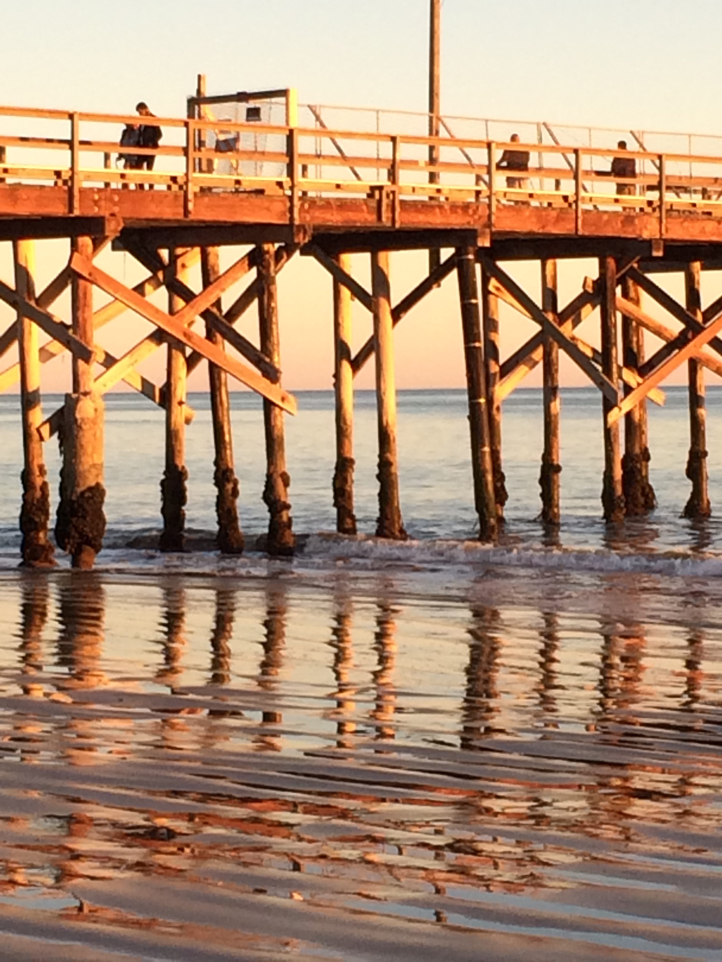
My new town, Carpinteria, stretches a few long thin miles, a sliver between the Pacific Ocean and the Santa Ynez Mountains. It takes me scant minutes to drive through town and I’m in black throughout. Nobody has power in Carp.
I call my daughter in LA County, ask her to search the internet for info about the outage and the fire.
Her voice has the patient even tone that means she is humoring me. Her keyboard clicks while she searches. “Oh wow,” she says, impressed. “The power is out from Thousand Oaks to Gaviota or farther.” That’s 70-80 miles. I don’t have enough gas to reach an open gas station. “But there might be scattered places that still have power. And the outage is because of the fire. ”
I keep driving north in search of a scattered place with power. Summerland, all dark. Montecito, all dark. Ten miles later, I get off the 101 freeway in eastern Santa Barbara. Mostly dark. Solar-powered Christmas lights sparkle surreally in a roundabout.
I park in a dark empty gas station. I can’t spend any more gas looking for gas. “What can you find out about the fire?”
My daughter’s keyboard clicks. “It’s about 10,000 acres and – ”
My spine freezes. “It’s growing so fast. This is a bad fire. I’m not much farther than the distance it has already moved tonight.”
My daughter’s tone changes. “They named it the Thomas Fire. Reports are coming in of homes burning in Ventura. Not just homes, entire neighborhoods.”
She hangs up to do serious sleuthing. I go home and stuff my three cats in their carriers in the car. They are groggy but soon the back seat echoes with meows. I sit in the car outside my dark disconnected home, listening to the radio and talking to my daughter. The Thomas fire keeps spreading but has changed direction. It’s not moving my way. I take the cats back inside.
Deep inside my head, I’m looping the story a friend told me about her mom. Another wildfire, years ago, in Claremont, east of Los Angeles. The police told them their neighborhood would be fine, so they went to bed, and woke up to pounding on the door. The fire changed direction, they had 3 minutes to get out. They managed to get the dog in the car but the pounding scared the cat. It ran and hid and they couldn’t find it. They lost everything. They found the cat’s remains under what was left of the bed.
About 2 am, the power comes on and mostly stays on. It’s not like I can sleep. I might as well get gas. But will any local gas stations bother to reopen tonight? My daughter finds one while I re-load the cats. (Amazing. They let me stuff them into carriers twice in one night.) (From then on, it takes an hour or more to load the third cat into a carrier. It’s not possible to surprise three cats into carriers.)
Carp is a sleepy little town that shuts down early – but at 215a, there are four long lines of cars already at the gas station’s pumps. The lines shorten dramatically after an employee scurries from driver to driver, advising us that the station can’t take plastic just now; cash only.
Yes! I have cash. For the first time that night I don’t feel like a total loser, disaster-preparedness-wise.
Paying the cashier takes forever because one guy requests a receipt so everyone wants receipts and that part of the payment system is borked, with a slow workaround. The line grows. I can’t figure why I might need a receipt. I don’t get one, so neither does the person behind me.
Social scientists tell us that during crises, people look to their neighbors and social networks to decide how to respond.
It’s dangerous, getting back to my car, where it sits full of cats at the pump. All over the gas station asphalt, people are positioning their cars with peculiar unpredictable swerves and reverses. No one is smiling and frowns look heavier in fluorescent light. One family nearly shuts down all progress, determined to get simultaneous gas from adjoining pumps for their multiple cars.
I’m back home by 3a. Now I don’t have much cash, but I’ve got lots of gas. Everything that needs charging is getting charged. The cats are out of their carriers but I’ve blocked their deepest hiding places. An active firefight is holding the fire on the far side of Highway 33 in Ventura.
“So long as it doesn’t cross the 33 I’ll be fine,” I tell my daughter. We notice how tired we are. It’s late, even for my 20-something daughter.
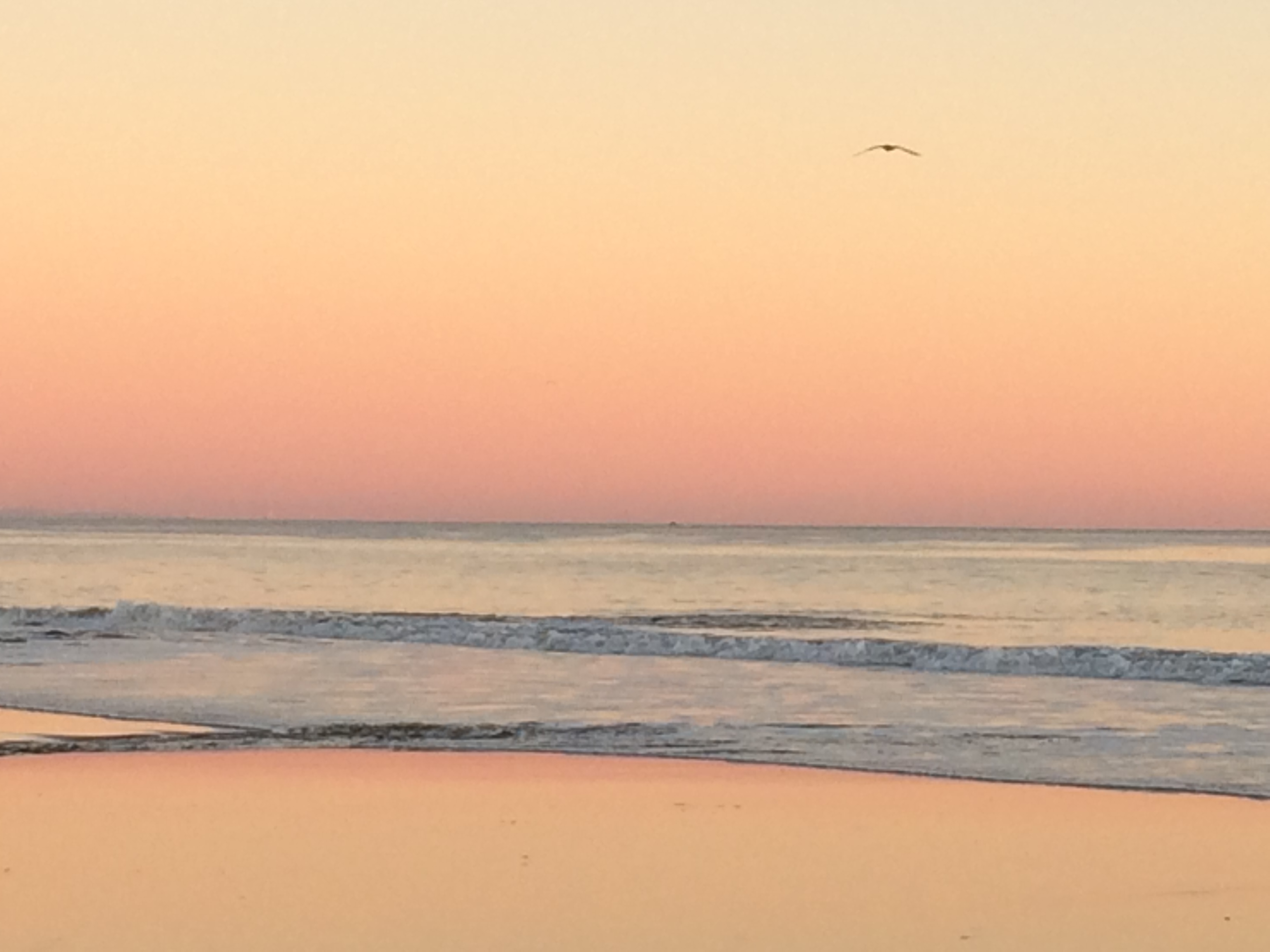
I sleep until dawn. Outside, smoke makes for quite a sunrise.

I check on the Thomas fire. Official news is spotty but Twitter is full of info and some of it seems trustable. Somebody shares a link to a very technical map with satellite data. It’s a firefighters’ tool made by scientists, so nobody understands it. I get enough of the gist to know we’re all misinterpreting it. But the map URL spreads like, well, wildfire, because this satellite data map seems to tell us the fire’s current location. That’s what we all want to know. Official info omits location, or provides a fire boundary we all know to be obsolete. It starts to feel like the officials are refusing to say what they really know.
Wow! So that’s how that happens! See, I work in the disaster biz, trying to make scientific information understandable. I’ve heard about mistrust during crises, about suspicions that experts are hiding something. Now I’m living that experience — from the other side.
The satellite data map seems to be telling me that the fire has jumped Highway 33 and is heading west. Toward the county line. Carpinteria. Me. Eventually, the official information adds a similar fat finger of fire, pointing west, where the satellite map placed it hours before.
All day long, that finger stretches and widens, scrabbling westward. The Thomas fire is not racing like last night, but it continues to advance in my direction. (Cripes, it’s advancing in all directions!)
I’m not seeing any preparations to stop it at the county line, a scant mile from my home. My county is saying nothing about evacuations. The county that is fighting the fire has no population centers to worry about, between the fire and me. My head is a jumble of half-remembered stories about response screw-ups when a disaster crosses jurisdictional boundaries, about strategies to let fires burn through unpopulated areas, about resources stretched thin, fighting other fires in southern California. The counties are all talking to each other, right? They have a plan to protect Carp, right?
And then there’s Ojai. I’m not certain I’ll be able to say that when this fire is over. Ojai is a rustic artsy jewel of a town nestled in fire-prone mountains, now on fire. Three winding back-country highways connect Ojai with the world, and two of those highways are now burning.
I’ve been texting with a friend in Ojai. She’s in a voluntary evacuation zone. Her air is beyond smoky and her neighborhood without power for more than 12 hours. Mid-morning, she takes the one open, back-country highway to my house. We unpack her car and shut her cat in my guest bedroom. Cats aren’t good with car rides. Or new places. Or other cats.
Cats.
We spend the day online, information seeking, occasionally comparing notes. We = my daughter, my Ojai friend, me. And neighbors on the social media site Nextdoor, where people keep sharing the satellite data map. Everybody thinks it means something different. But at least that map seems to have valid data, whatever the hell it means. Misinformation and rumors are spreading as quickly as the fire.
Social scientists who study disasters say that when people need information they’ll keep looking until they find something that seems to satisfy. If you provide official, accurate information that they can find and understand, that’s what they’ll use. If you don’t, something else will fill the vacuum. And that “something” could be way wrong, but people won’t have the specialized knowledge to detect problems with it.
At this point, I’m so frustrated with the official info, or lack thereof. Doesn’t my new county have a public information officer (the emergency response person who keeps the public informed)? I wish they had somebody monitoring the internet, to get out in front of the rumors, to reduce the confusion. Partly, I wish this as a professional observer. Mostly I crave intel to help me figure out my next move – and whether I need to make one.
My Ojai friend decides her evacuation was hasty and she packs her car to return home. She is only in a voluntary evacuation zone, after all, and she is certain the firefighters will protect her neighborhood. A neighbor who stayed behind texts that their power is finally back on. Also, she forgot her list of internet passwords when she evacuated!
I make a pitch for her to stay put. It’ll be dark soon. The firefighters would rather she stay away. Her home is near a mandatory evacuation zone which could expand at any time. Also, on one of its many fronts, the Thomas fire is headed for Ojai’s sole, still-open highway. I don’t mention the San Diego fire story I recall. A guy was evacuating on a back-country road and the fire ambushed him, surrounded him, incinerated him.
We go out for dinner before she heads home. By the time we finish dinner, her neighbor texts that their power is off again. And now her neighborhood is under a “boil water” order. To me, that’s a dealbreaker. She decides to stay in Carp when we look at the satellite data map. It implies the Thomas fire has moved into the mountains just behind Ojai. Soon the fire will surround the bowl of the Ojai Valley.
And damn, it’s still spreading west toward Carp. If it gets to the hills above Mussel Shoals we need to leave here, that’s only 4 miles away and at the rate it’s moving…
Time elapses. Nighttime again. According to the satellite data map, the Thomas fire has reached the hills above Mussel Shoals. But should I trust this not-understood data product? I see no signs of concern or preparation with my neighbors or my county.
If it gets to the hills above La Conchita I should leave, that would be only 3 miles away.
Or should I? Three miles. Is that too close or comfortably far? I keep going on-line to find out how quickly wildfires tend to move, but I keep distracting myself before I find out.
My county, Santa Barbara, finally weighs in at 948p. (By now, some 23 hours have elapsed since Ventura County first warned of a fast-moving fire.) I receive this text because when I moved here I signed up to receive alerts: “Currently there are no evacuation warnings or orders for Santa Barbara County. The Thomas Fire is burning south east of the County all in Ventura County. Fire officials are monitoring the situations. Please continue to stay alert to changes in conditions.”
In other words, wait and see. Limbo is not my best locale. No doubt it would be good for my personal growth to accept this current uncertainty but personal growth is low on today’s to-do list. I dread a knock on the door in the middle of the night.
Ventura County posts maps showing the fire and evacuation zones… in Ventura County. Their fire location matches what the satellite data map showed a few hours before. All their information – and, it seems, their concerns – stop at their county line. Below is a map from that time. The red hatched area is the fire location. The bottom finger points at my home, in the white space just across across the county line.

My Ojai friend announces that she is too tired to figure out whether to stay or leave Carp, so she will copy my decision, whatever it turns out to be. I call friends 12 miles west, in Santa Barbara, and make tentative plans for us to go there, if and when.
I go outside. Another chilly night; grateful the power is on. I stare east at Rincon Hill. If I could see through it, would I see the fire?
A neighbor comes outside, points binoculars at Rincon Hill, looks for signs of fire. Nothing yet. He intends to keep checking like this all night. “When I see fire at the top, it’ll be time to go.”
Would that give enough time to leave? Rincon Hill is a mile away. We’re nearly a mile from the nearest intersection, at the end of dead end roads, and to get out we’ll have to head toward the fire.
I could get my binoculars, too. But I want to sleep tonight. I tell my Ojai friend that I want to leave. I call my Santa Barbara friends: we’re coming your way.
Our arrival is awkward. Everyone has conflicting expectations about what “bringing the cats” means. I expect to keep my cats in the attached garage; there is nothing more destructive than my cats when nervous, and the Santa Barbarans have a house full of nice stuff. I expect Ojai to keep her cat in a bathroom; she expects her cat to have a bedroom to herself. The Santa Barbarans are dog people and expect all four cats to stay in cages in the garage. But we don’t have cages, we have compact carriers the cats can’t even stand in.
Because things can always get more awkward, I start to cry. I feel responsible for not clarifying the situation before we arrived; for making all these friends uncomfortable.
We get past it. My cats go loose in the garage, Ojai’s cat gets the guest bedroom with Ojai and me. The Santa Barbarans are gracious hosts and it is restorative to sleep a full night without feeling a need to check on the Thomas fire.
The next morning we entered a twilight zone. We all figured, a couple more days and everybody would be going home or confronting their losses. We knew the drill with wildfires. They’re most destructive early on, when they catch us by surprise. These firefighters would work hard and bit by bit get the upper hand, gradually the containment percentages would rise. With big winds in the forecast, we anticipated some delays, but we expected progress overall.
On Tuesday, the fire was still 0% contained.
On Wednesday, the fire was 0% contained.
On Thursday, the fire was 0% contained.
I prefer my authorities truthful, but I would have been okay with them exaggerating to claim 1% containment.
On Thursday, my friend from Ojai drove to her sister’s house in LA, where she would feel comfortable staying longer term. She’s like me. She doesn’t like to ask for help, and she doesn’t like to impose. By then, her town was surrounded by fire, with all its highways closed. Her neighbors had stopped texting and she wasn’t sure what that meant. But she kept running into Ojai evacuees all over Santa Barbara. Quite the social scene!
Her drive to LA fell on the harrowing end of the memorable scale. The freeway was intermittently closed, with the Thomas fire burning on both sides. She inched past flames, under Highway Patrol escort, and drove through a rain of exploding embers when a palm tree nursery caught fire. Traffic was blocked ahead because of the Skirball wildfire on the 405 freeway, so she detoured to a back route along the coast – and just missed traffic delays due to yet another brushfire, burning briefly in Malibu.
(As I write this, she’s still in LA, waiting for smoke and chaos to clear back home in Ojai. Against all odds, firefighters saved the town. Her neighbors and her internet passwords are fine. Ditto the nearby condor and raptor sanctuaries.)
At some point during the 0% containment days, that finger of fire stalled, about a mile east of my home. Winds blowing to the west are unusual along my coast, and once that wind stopped it did not return. Nonetheless, my neighborhood fell into an evacuation warning zone (aka voluntary evacuation, be-ready-to-leave-at-a-moment’s-notice). The fire had continued to move west, way up in the mountains, some 7 miles above my home. That fire front was farther away, but a bigger concern, because the weather forecast expected strong winds from the north. Historically, fire has come into town from winds like that.
The next few days, the Thomas fire spread more slowly but expanded in all directions. The firefighting population grew from a few hundred to more than 8 thousand. The weather stayed clear and warm, with impossibly low humidity (1%!). The next week’s forecast warned of multiple episodes of strong winds from the north, which would push more fire toward more people.
0% containment = 100% uncertainty. I didn’t feel comfortable staying with the Santa Barbarans indefinitely. And anyway, come the weekend they were headed out of town and had a housesitter arranged. Before they left, they put some valuables into storage in Goleta, 10 miles west of their house. The implausible was looking all too possible: the Thomas fire might make it to their neighborhood, maybe 40 miles from its starting point. (In fact, their neighborhood wound up in a voluntary evacuation zone and the fire burned a park less than a mile away.)
On Friday, my 4th day of evacuation (5th day of fire), I relocated, to a friend’s guest room back in La Crescenta, where I’d previously lived. I guesstimated I’d be going home Sunday or Monday, evacuation day 6 or 7. I had pre-fire plans to drive to LA on Monday, for an appointment and a show. I figured I’d keep the plans only in the unlikely event that I was still in LA come Monday. I was still there on Monday. I was still there the next Friday.
I had some fun back in La Crescenta, visiting old friends and favorite haunts, as well as my kids and granddaughter. A stay-away-cation. Now I was in a single room with the 3 cats, which brought some challenges, but it beat hanging out in a garage to see them!
I continued to spend most of my time seeking fire info, which improved enormously as the days went on. Eventually, even my map nerd desires got sated. I became impressed with the quality of information, the temporary squadron of public information officers, the range of information formats and channels, as they say in the communication biz. Town halls, press briefings, web pages, interactive maps, tweets, text alerts, emails, kiosks with posters, Spanish and sign language translations. I was especially wowed by the local TV news station, KEYT. Their coverage and interactions (with firefighters, communities, authorities, other media) were everything that TV news should be, but rarely is.
Despite my incessant scrutiny, I missed the change when my home got put in an evacuation zone. The descriptions of evacuation zones were a garble, absurdly hard to parse. At first I assumed this was because I was new to the area. But the local TV anchors – who’ve lived here forever – struggled too. Fortunately, the zones later appeared on maps.
I missed the point with other information, too. My thoughts were a collection of unsharpened tools. Apparently, when I evacuated, I forgot to pack higher reasoning functions. I needed simple declarative ideas and limited choices. Overthinking is a specialty of mine. What do you get when you combine overthinking with inability to think? If I had more memories from that phase, maybe I could tell you.
Why was I like that? Nothing bad had happened to me. I hadn’t even seen any flames. And it’s not just me. I’ve heard about this effect from many people in many disasters. Why? Perhaps the answers vary with each person. For me, the drivers were underlying fears and issues with trust. I didn’t trust the experts. I didn’t trust myself. To make the right decisions, to take the right actions at the right time.
I’m still not sure why I was so fixated on seeking fire info. Like everybody, I wanted the threat to be over, but I had other reasons. I’ve got the disaster junkie gene, so watching the Thomas fire unfold was amazing as well as chilling. Also, I needed validation. I was sheepish about over-reacting. I mean, hey, if my neighbors stayed home, why did I leave? I felt relief as well as dread when my home got put in an evacuation zone, even if it was only voluntary.
That was on Wednesday (fire day 3, evacuation day 2). Come Saturday morning (fire day 6, evacuation day 5), authorities downgraded evacuations in my part of Carp. Mandatory zones softened to voluntary, and my evacuation was lifted. What the? Aren’t strong winds due to return soon? Don’t you realize that once somebody evacuates then returns home, it is way harder to get them to leave again? Are you saying that Carp is out of danger? How can that be? The satellite data map shows plenty of fire in the hills and your incident map still shows the Carp fire line as “uncontained”.
But – I work with emergency responders and I know how much they care about public safety. So the decision to change evacuation zones hadn’t been made lightly. What the hell, dudes.
I was angry with authorities for increasing my uncertainty and not inviting me to their planning meetings. I was angry with myself for evacuating. On the other hand, the smoke and ash made the air quality atrocious back home, off the top of the Hazardous scale. Furthermore, I’d just made the 2-hour drive between Carp and La Crescenta and I knew from that recent experience that when you have 3 cats meowing non-stop, 2 hours is longer than eternity. So I stayed in La Crescenta that day. I figured I would go home the next day.
That night, the Thomas fire went berserk, exploding like it did on its first night, nearly doubling its burned acreage. Most of the expansion was into Carpinteria. In the wee hours, text alerts flew to evacuate people from Carp.
(Days later, a neighbor told me that our street got the pounding on the door at 3a. The get ready to get out. However, the fire paused and by dawn she was making pancakes for our block.) (While I was gone, I got scant news from home because I’m still learning my neighbors’ names and hadn’t gotten around to exchanging phone numbers.)
When I awoke the next morning and took my phone off silent, I thumbed through the night’s urgent evacuation alerts with conflicting reactions: 1) So glad I’m 100 miles away. 2) I’ve let my neighbors down by not staying to help. 3) I give myself permission to stay away until I feel it’s safe to return.
I gasped when I did that morning’s check of the satellite data map. It showed fire throughout my neighborhood and my beloved nearby nature preserve. (On this map, my home is under the red fire boxes, a bit above the “n” in “Carpinteria”.)

Soon I realized the map had to be wrong, because no one on social media was talking about Carp burning. And sure enough, the map suffered from a data location glitch. All that fire actually plots about a mile north of Carp’s neighborhoods.
(One good thing about the data glitch was that it got everybody talking about this map, including the experts. At last the firefighters explained that this map shows heat, including fire hot spots. Like any data, these are sometimes wrong and the firefighters go and check on suspect data points.)
After that night, I felt more confident about the evacuation zones. Emergency responders never want to have nights like the one that just transpired. I figured they’d be extra cautious about softening evacuations for the duration of the Thomas fire.
The NEXT Friday (fire day 12, my evacuation day 11) they lifted the evacuation in my neighborhood. I got ready to go home the next morning.
However, during the night, thanks to hurricane-gust winds, the Thomas fire blasted into Montecito (two towns west of Carp), and began to threaten Santa Barbara (just beyond Montecito). By early morning, tens of thousands of people were evacuating. To streamline the exodus, the Highway Patrol closed the freeway to incoming traffic like mine. I couldn’t drive home to Carp after all.
That wasn’t the only freeway problem. During the night, while Montecito blazed, a few miles farther north, a tanker truck overturned and exploded. The freeway had to close until it could be repaved!
I finally made it home on that Sunday. Fire day 13, evacuation day 12.
As I write this, the Thomas fire is 19 days old. It no longer threatens communities and is 65% contained. It is the second largest wildfire in California history but we’re only a few hundred acres from the largest. We can take them. We’ll be on top. For a time. When living through a fire disaster, one wants it to be mundane and run-of-the-mill. Afterwards, one likes it to be a record-breaker.
Good thing climate change isn’t real, or we’d have to worry about other fires surpassing this one, soon.
I was incredibly critical of myself through most of the Thomas fire. Should have. Shouldn’t have. WTF, why didn’t you. I discover that anger has long been an antidote to fear, for me. Listening to the new Eminem album helped me feel better and through this I learn that someone else’s anger can be an antidote, too.
Fear. Fear of loss. Fear of not being able to protect myself or those who matter to me. My family, my friends, my cats.
they only had three minutes… the fire ambushed him … Do I remember such stories because they echo my fears, or do I have the fears because I’ve heard these stories? Probably the former.
I grew up afraid of fire. Had recurring childhood nightmares about a flame – I’d put it out, turn my back, it would flare again. Couldn’t light a match until college. Spent years so concerned about electrical fires that I would unplug everything each time I left my house; I made an exception for the refrigerator. The plug thing probably counts as a phobia and when I think of all the psychological energy it consumed.
I’m grateful I got past all that. All my fire fears. But, however “handled” my fears are, they’re all still there, deep down, ready to flare again. I can’t extinguish them, though I’ve learned to shrink them. Thanks to therapy, the 12 steps, meditation, getting older, and a splash of Buddhism, nowadays I recognize when I start obsessing about all the bad that might happen.
Nowadays I can usually shift my attention elsewhere, and simply notice the physical effects of such thoughts. But in times of crisis, somewhere deep down, I suspect the obsessing continues. All the spiralling what-if-ing by which I experience a thousand catastrophes that never actually happen.
I’m lucky, and I’m grateful. Tomorrow I’ll enjoy an early holiday with my family. At my home, which is fine, despite all windows having to stay closed with new air filters blowing at max capacity. The ash infestation is temporary, of course.
Over the last couple weeks I’ve gotten back in touch with a large number of loved ones. I’ve belatedly exchanged phone numbers with neighbors. I’ve confirmed how much I love my new community and I have many ways to convert my fortunate outcomes into help for others who need it.
Also, no big earthquake occurred during the Thomas fire. P. S. to the universe, no need to add one now.
 I’ve got a new series of books called DDsE and you can start reading for free; download an e-version*

 Leo gave his all to everything. He was enthusiastic, eccentric, hilarious. And above all, loving. He